Regions / Jezreel Valley & Tivon
Kiryat Tivon קריית טבעון
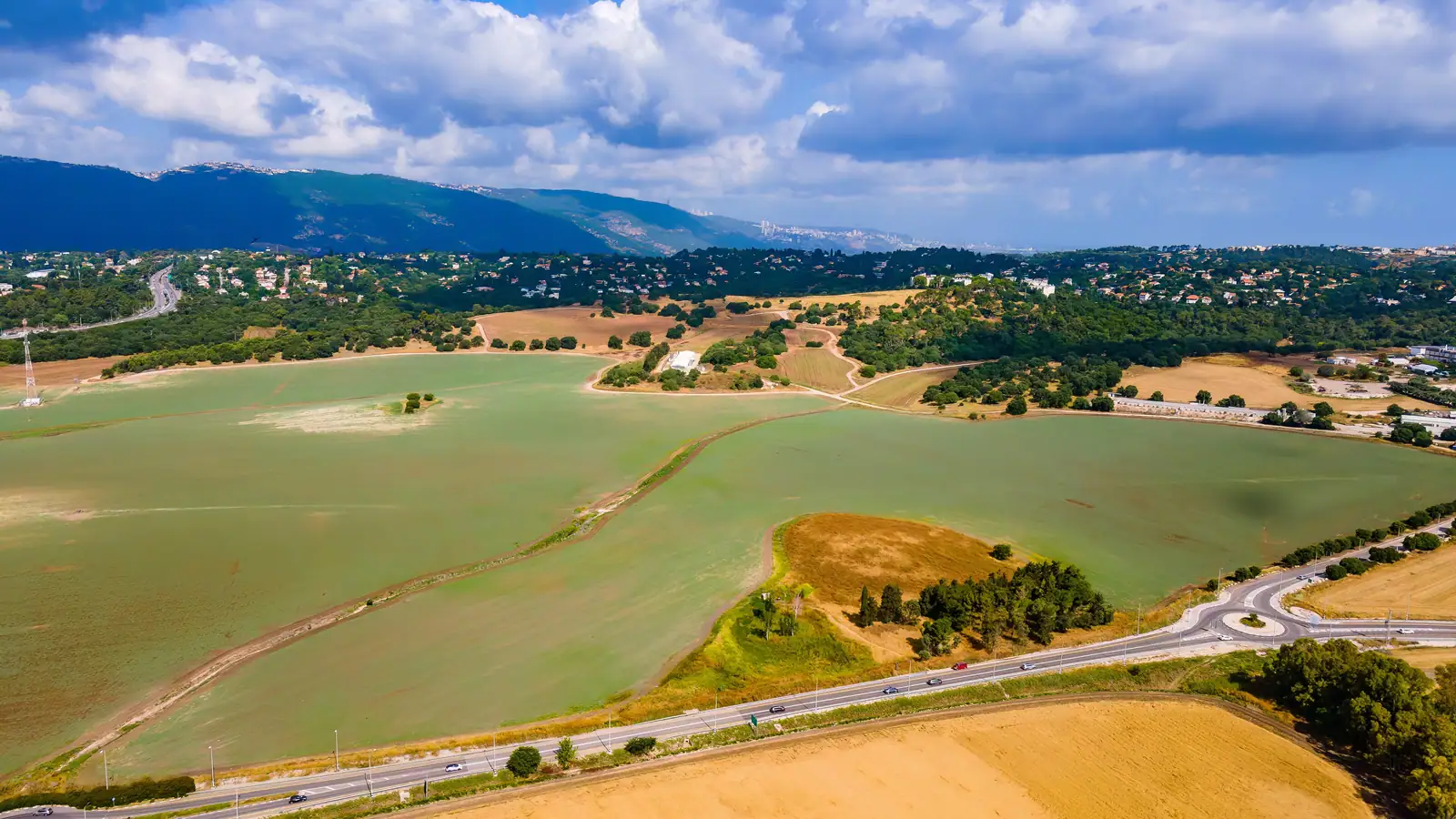
A green, low-rise town in the Carmel foothills, about 21 km from Haifa by road.
Overview
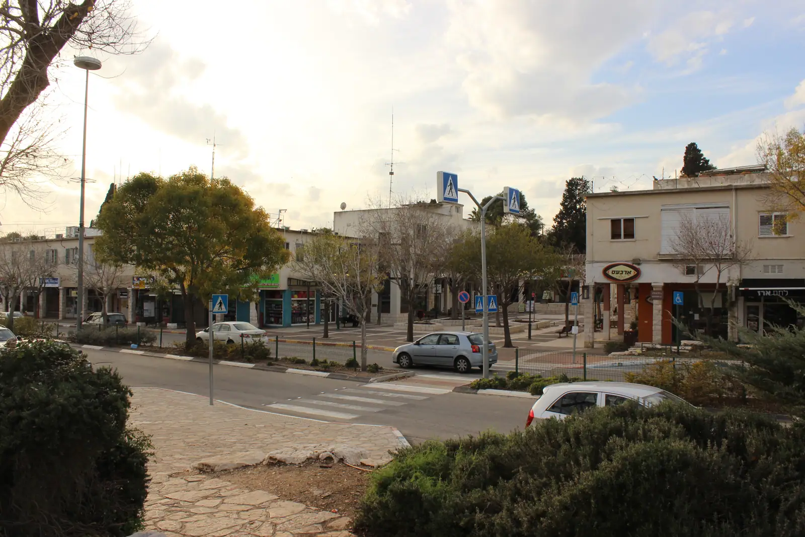
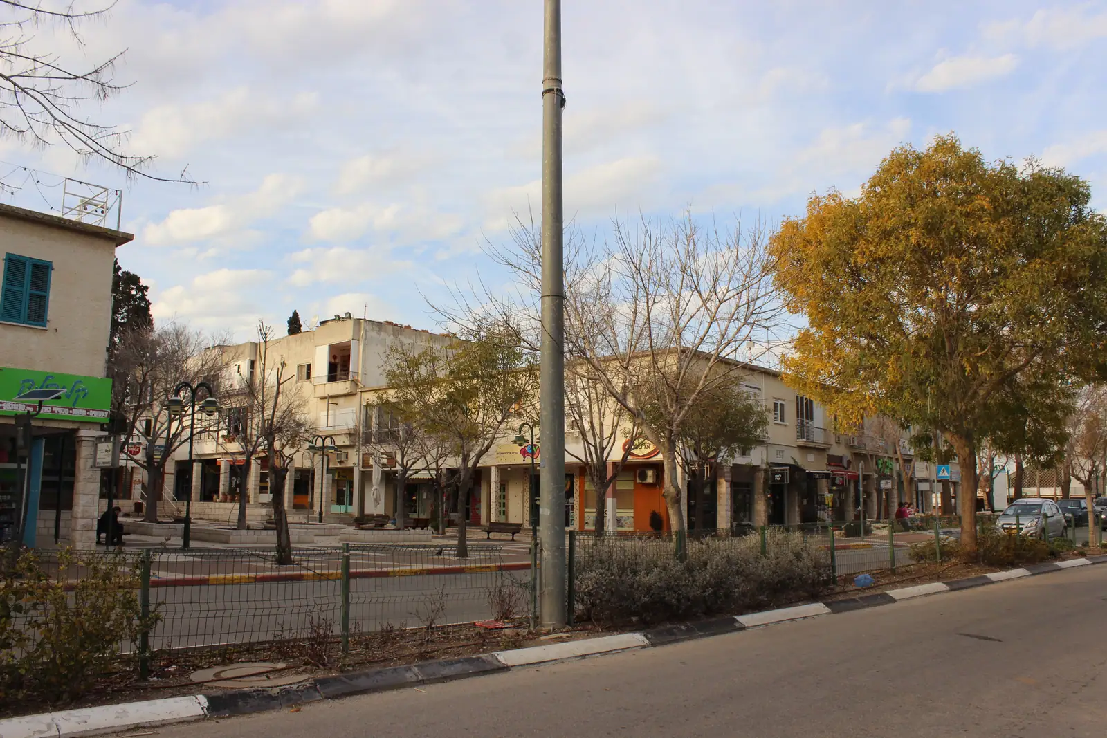
Kiryat Tivon was formed in 1958 by merging Tivon, Kiryat Amal and Elro’i. Wikipedia describes low-rise buildings, tree groves and extensive gardens, for 19,158 residents (2024), about 15 km south-east of Haifa in a straight line (about 21 km by road), on the road to Nazareth.
Beit She’arim National Park, a UNESCO World Heritage Site and the burial place of Rabbi Yehuda HaNasi, is beside the town, and Oranim Academic College of Education is in it.
- 19,158 (2024)
- Population
- About 103 m (average)
- Elevation
- ₪2,696,888
- Average sale price
- Not on the 2026 list
- Tax credit (2026)
Average sale price, all property types. Source: Madlan, based on reported sales; figures read Oct 2026. A guide only: actual prices depend on the home.
Living in Kiryat Tivon
Quality of life
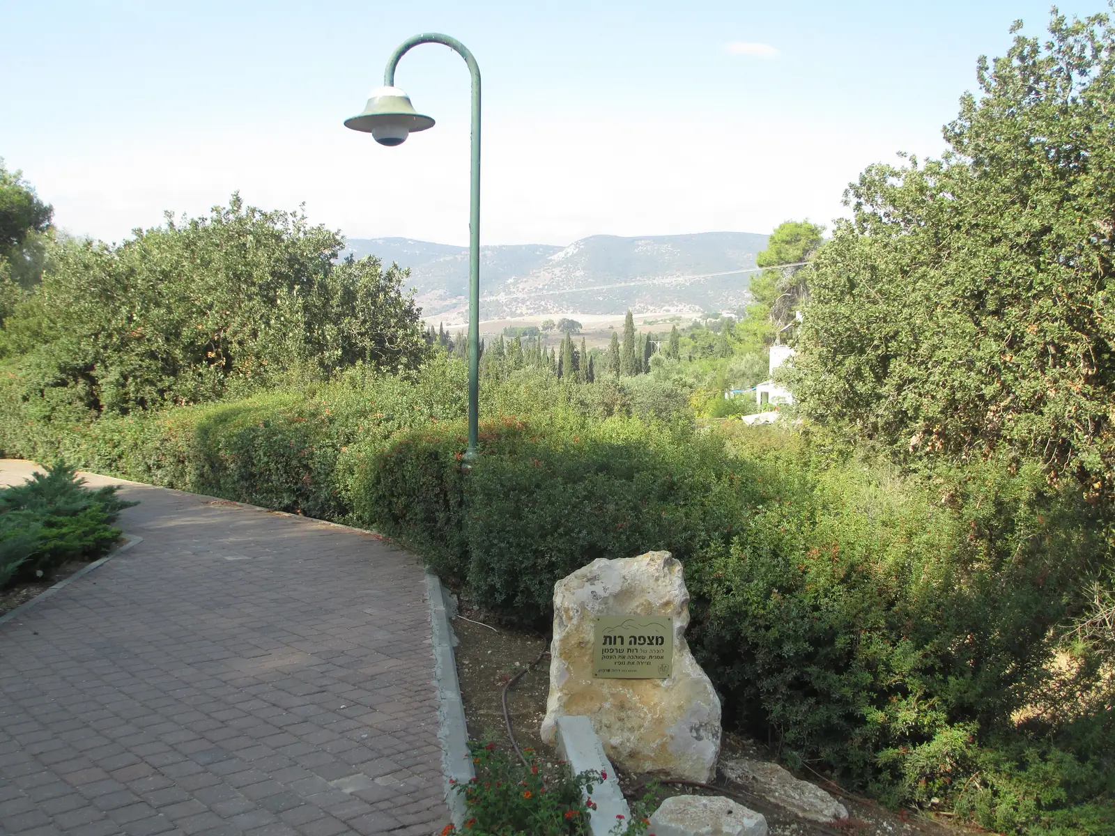
- About a third of the built-up area is under trees, says Hebrew Wikipedia, with low-rise housing and gardens.
- Beit She’arim National Park next door, and a 30 km cycling loop called Sovev Tivon.
- An ancient Tabor oak with a trunk 5.3 m around.
Community
- Hebrew Wikipedia notes many former kibbutz members and one of the country’s highest volunteering rates.
- The council chose not to develop industry that pollutes air, water or soil.
Value for money
- Not on the 2026 list for the locality tax credit.
Good to know
- Hebrew Wikipedia gives the town a socio-economic cluster score of 8 of 10 (2021).
Community
Kiryat Tivon has 19,158 residents (2024). It was formed in 1958 by merging Tivon, Kiryat Amal and Elro’i, and Kiryat Haroshet joined in 1979. Hebrew Wikipedia notes many former kibbutz members, volunteering rates among the highest in the country, and a council decision not to develop industry that pollutes air, water or soil. Its socio-economic cluster score was 8 of 10 in 2021.
We found no source on an English-speaking community in Kiryat Tivon, so none is described here.
Sources: Wikipedia, Kiryat Tiv’on · Hebrew Wikipedia, קריית טבעון
Religious life
Hebrew Wikipedia mentions the synagogues of Alroy, a neighborhood whose prayer has a distinctive style and melodies, but gives no count or breakdown of the religious mix. Beit She’arim, next to the town, was the burial place of Rabbi Yehuda HaNasi.
Sources: Hebrew Wikipedia, קריית טבעון · INPA, Bet She’arim
Women’s mikveh (available in town)
Neighborhoods to know
- Kiryat Amal
- Tivon
- Alroy
- Ramat Tivon
Schools
Hebrew Wikipedia lists 17 kindergartens, three state elementary schools, a state-religious school, a special-education school and a combined middle and high school (Ort Greenberg Tivon), plus Shaked, an anthroposophical community school. Oranim Academic College of Education, home of the Rabin pre-military academy, is in the town. The matriculation rate was 82.1% in 2023–24.
Sources: Hebrew Wikipedia, קריית טבעון · Wikipedia, Kiryat Tiv’on
Getting around
Kiryat Tivon has no railway station of its own. The station that serves it is Yokneam–Kfar Yehoshua, about 10 min (8 km) away by road. On a weekday 21 trains a day run from Yokneam–Kfar Yehoshua to Haifa Center–HaShmona, usually in about 17 min. No train runs direct to Tel Aviv in the timetable; you change at Haifa.
About 34 bus lines stop in Kiryat Tivon on a weekday. Direct services from Kiryat Tivon include:
- Haifa: 316 direct trips on a weekday (lines 74, 75, 190, 301, 331…), from about 11 min; Egged, G.B. Tours, Nesiot VeTayarut, Nateev Express and Superbus.
- Tel Aviv: 37 direct trips on a weekday (lines 826), from about 1 h 20 min; Egged.
- Migdal HaEmek: 209 direct trips on a weekday (lines 68, 331, 332, 333, 335…), from about 10 min; Egged, G.B. Tours, Nesiot VeTayarut and Superbus.
- Nazareth: 191 direct trips on a weekday (lines 331, 332, 333, 335, 336…), from about 17 min; Egged, G.B. Tours and Nesiot VeTayarut.
- Afula: 70 direct trips on a weekday (lines 301), from about 25 min; Superbus.
- Yokneam Illit: 60 direct trips on a weekday (lines 190, 407, 826), from about 7 min; Egged and Superbus.
- No direct bus to Jerusalem appears in the timetable; change at a nearby hub.
Times are from the first stop in town to the first stop in the destination city. Timetables change, so check the operator’s app before you plan a trip.
By road, Kiryat Tivon is about 21 min (21 km) from Haifa, 1 h 13 min (97 km) from Tel Aviv, 1 h 42 min (136 km) from Jerusalem and 1 h 15 min (98 km) from Ben Gurion Airport, the nearest international airport. These are free-road estimates with no traffic, so allow more at rush hour.
Sources: Ministry of Transport timetable · OpenStreetMap routing · Wikipedia, Israel Railways
Kiryat Tivon is part of Jezreel Valley & Tivon, with Migdal HaEmek, Afula and Yokneam Illit close by.
Nature & attractions
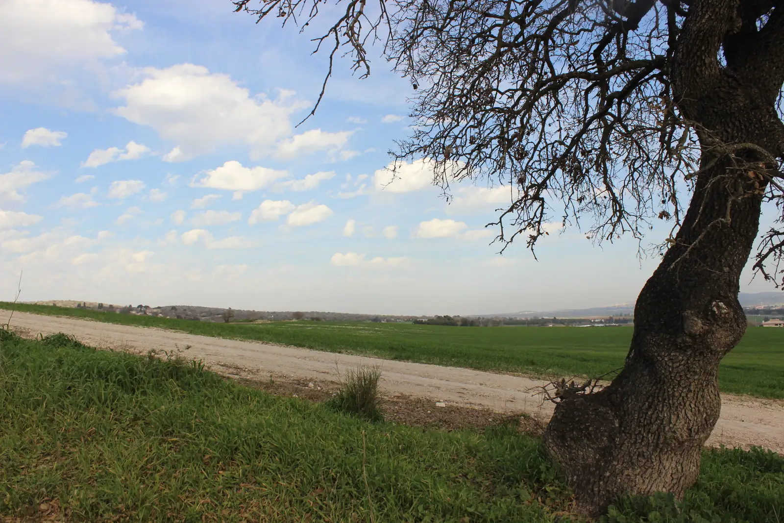
About a third of the built-up area is under trees. An ancient Tabor oak has a trunk 5.3 m around, and Alroy Spring and the Founders’ Garden are in town. A cycling loop of about 30 km, Sovev Tivon, circles it, and Route 75, the Haifa–Nazareth road, crosses it.
Sources: Hebrew Wikipedia, קריית טבעון · Wikipedia, Kiryat Tiv’on
In half an hour or less you can be at Bet She’arim National Park (10 min) and Tel Megiddo National Park (23 min). Up to 45 minutes takes you to Zippori National Park (31 min), Ramat HaNadiv (34 min), Harod Spring (Ma’ayan Harod) National Park (37 min) and Nahal Me’arot Nature Reserve (40 min). For a longer day out, Amud Stream Nature Reserve (46 min), Arbel National Park and Nature Reserve (46 min), Akhziv National Park (48 min) and Bet She’an National Park (49 min) are within the hour.
All 15 parks and reserves within an hour, with drive times
- Bet She’arim National Park · about 10 min by roadA burial ground where Rabbi Yehuda HaNasi is buried, with the decorated Menorah Caves. INPA, Bet She’arim
- Tel Megiddo National Park · about 23 min by roadThe palaces, temples, gates and water system of a major Canaanite city, part of the UNESCO World Heritage biblical tells. INPA, Tel Megiddo
- Zippori National Park · about 31 min by roadA former capital of the Galilee and seat of the Sanhedrin, with Roman and Byzantine mosaics. INPA, Zippori
- Ramat HaNadiv · about 34 min by roadA nature park and garden at the southern end of the Carmel, with pine and cypress groves around the tomb of Baron Edmond de Rothschild and his wife.
- Harod Spring (Ma’ayan Harod) National Park · about 37 min by roadA spring from a cave on the slope of Mount Gilboa, a clear brook and a paddling pool, and the Hankin House museum. INPA, Harod Spring
- Nahal Me’arot Nature Reserve · about 40 min by roadFour prehistoric caves (Tabun, Jamal, El-Wad and Skhul) with remains of about 500,000 years of human life, a UNESCO World Heritage Site since 2012. INPA, Nahal Me’arot
- Caesarea National Park · about 40 min by roadThe Roman port city Herod the Great built from about 22 BCE, with a theatre that still hosts concerts, a hippodrome, Crusader walls and aqueducts on the beach.
- Hamat Tiberias National Park · about 44 min by roadAn ancient synagogue with a mosaic floor, an 18th-century Turkish bathhouse and 17 hot springs by the Kinneret. INPA, Hamat Tiberias
- Amud Stream Nature Reserve · about 46 min by roadA stream that runs all year, with rock pools, old flour mills and prehistoric caves. The upper section, reached from Road 866, is open to visitors. INPA, Amud Stream
- Arbel National Park and Nature Reserve · about 46 min by roadA cliff-top park over the Kinneret, with Arbel Fortress, a cave village and the ruins of a Galilean synagogue. INPA, Arbel
- Akhziv National Park · about 48 min by roadThe remains of an ancient fishing village, a sandy beach and a lagoon, next to Israel’s largest marine reserve (Achziv–Rosh Hanikra, declared December 2019). INPA, Akhziv
- Bet She’an National Park · about 49 min by roadThe Roman and Byzantine city, with its theater, bathhouse and streets, below the mound of the biblical city. INPA, Bet She’an
- Rosh Hanikra grottoes · about 49 min by roadSea-carved hollows in a white chalk cliff on the Lebanese border, about 200 m of connected passages reached by cable car; the Israel Nature and Parks Authority manages the site. Wikipedia, Rosh HaNikra grottoes
- Yehi’am Fortress National Park · about 50 min by roadThe ruins of a large Crusader and Ottoman fortress, which also tells the story of its defenders in 1948. INPA, Yehi’am Fortress
- Korazim National Park · about 55 min by roadA Jewish village from the time of the Mishnah and Talmud, with a synagogue and a ritual bath. INPA, Korazim
Drive times are free-road estimates from the center of Kiryat Tivon (OpenStreetMap routing). Hours, fees and booking rules change; check the Israel Nature and Parks Authority before you go.
Homes in Kiryat Tivon
Tell us what you’re after and we’ll look in Kiryat Tivon for you. Many homes never reach the big listing sites.
Gallery
Sources
The community, schools, getting-around and nature sections were checked on 27 Oct 2026 (towns added on 2 Nov 2026 that day) (train and bus counts are for a typical weekday, Sunday 8 Nov 2026, in the timetable valid 2 Nov to 2 Dec).
- Wikipedia, Kiryat Tiv’on
- Hebrew Wikipedia, קריית טבעון (Kiryat Tivon)
- Locality income-tax credits: third-party compilation (relotax, GitHub, updated 2 Aug 2026) of the Israel Tax Authority 2026 deductions booklet
- Israel Nature and Parks Authority, Bet She’arim National Park
- Ministry of Transport, open public-transport timetable (GTFS), feed valid 28 Oct to 26 Nov 2026; weekday counts are for a typical Sunday in that feed (1 Nov 2026), worked out by DreamNorth
- OpenStreetMap routing (OSRM public server, car, no live traffic), drive times and distances worked out by DreamNorth
- Wikipedia, Israel Railways (lines and stations)
- Israel Nature and Parks Authority, Tel Megiddo National Park
- Israel Nature and Parks Authority, Zippori National Park
- Wikipedia, Ramat HaNadiv
- Israel Nature and Parks Authority, Harod Spring National Park
- Israel Nature and Parks Authority, Nahal Me’arot Nature Reserve
- Madlan, Kiryat Tivon sale prices (page updated 15 Sep 2026)
- Israel Tax Authority, nadlan.gov.il: reported real-estate transactions