
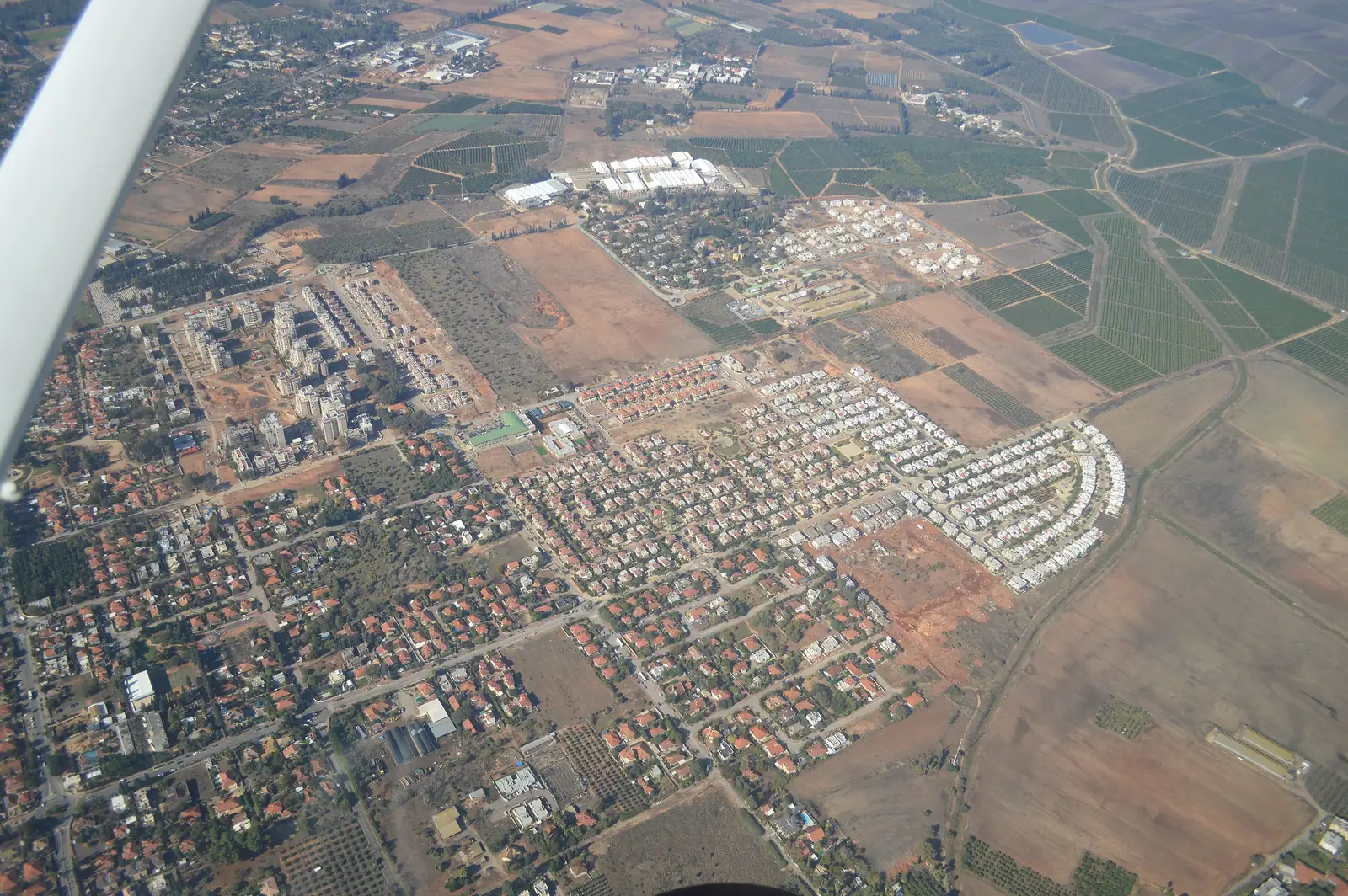
Pardes Hanna-Karkur פרדס חנה-כרכור
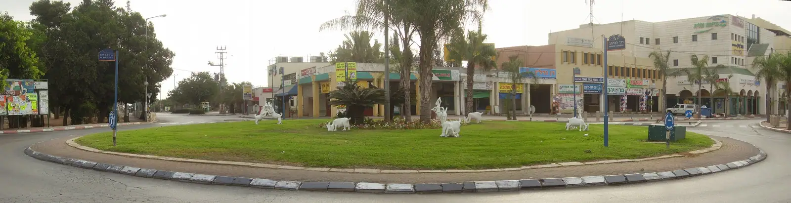
A relaxed, semi-rural town of orchards and an old center, between Tel Aviv and Haifa, with its own railway station.
Overview
Pardes Hanna-Karkur was formed in 1969 by merging two villages, Karkur (founded in 1913) and Pardes Hanna (1929). Wikipedia gives it 46,601 residents (2024) on 22,596 dunams, about 22.6 km², and calls it the largest local council in Israel by population among towns without municipal status.
Citrus groves were the main livelihood from the 1920s. Nefesh B’Nefesh describes a small-town, old-time feel, with trees along the edges and orchards on the outskirts, and residents who value the short commute to both Tel Aviv and Haifa. The Caesarea–Pardes Hanna station on the coastal line serves the town.
- 46,601 (2024)
- Population
- About 48 m (average)
- Elevation
- Not on the 2026 list
- Tax credit (2026)
Living in Pardes Hanna-Karkur
Quality of life
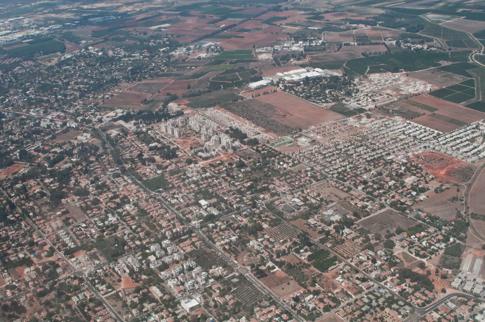
- A rural feel, with trees along its edges and orchards on its outskirts, and hiking and biking past the fields.
- The Wadi, a stretch of tall trees and picnic tables in the town center, hosts a community yard sale every fourth week in the dry months (ISRAEL21c, February 2025).
- Former horse stables have become an arts-and-food quarter, and a Friday-morning farmers’ market runs weekly (ISRAEL21c).
- The Caesarea–Pardes Hanna station on the coastal line; Road 651 links to Highway 4 and Road 652 to Highway 70 (Wikipedia).
Community
- Nefesh B’Nefesh says there are “just enough English speakers to provide a cultural cushion”, and that it has not become an Anglo enclave; local Five Towns groups on WhatsApp and Facebook help newcomers.
- Wikipedia says the town has been characterized as having a hipster culture, balanced between modern and traditional; ISRAEL21c describes people leaving Tel Aviv and Jerusalem for quieter surroundings.
Value for money
- Not on the 2026 list for the locality tax credit.
Good to know
- Nefesh B’Nefesh notes that municipal services for immigrants are limited, with no ulpan or absorption center, and that a car is needed.
- Hebrew Wikipedia gives the town a socio-economic cluster score of 7 of 10 (2021).
Community
- Nefesh B’Nefesh says there are “just enough English speakers to provide a cultural cushion”, and that it has not become an Anglo enclave; local Five Towns groups on WhatsApp and Facebook help newcomers.
- Wikipedia says the town has been characterized as having a hipster culture, balanced between modern and traditional; ISRAEL21c describes people leaving Tel Aviv and Jerusalem for quieter surroundings.
Religious life
Women’s mikveh (available in town)
Neighborhoods to know
- Ramban
- Neve Asher
- Migdal
- Tel Shalom
- Tel Tzvi
- Neve Pardesim
Schools
Schools and English-speaking support are being researched and will be added here, each with its source.
Getting around
Pardes Hanna-Karkur has no railway station of its own. The station that serves it is Caesarea–Pardes Hanna, about 6 min (4 km) away by road. 36 trains a day run direct to Tel Aviv Savidor Central, in about 43 min.
About 56 bus lines stop in Pardes Hanna-Karkur on a weekday. Direct services from Pardes Hanna-Karkur include:
- Haifa: 17 direct trips on a weekday (lines 202), from about 53 min; Egged.
- Tel Aviv: 129 direct trips on a weekday (lines 632, 634, 825, 832, 833…), from about 49 min; Egged, Nesiot VeTayarut and Kavim.
- Jerusalem: 9 direct trips on a weekday (lines 942), from about 1 h 24 min; Egged.
- Afula: 89 direct trips on a weekday (lines 821, 825, 833, 840), from about 29 min; Egged and Nesiot VeTayarut.
- Nazareth: 16 direct trips on a weekday (lines 833), from about 44 min; Nesiot VeTayarut.
- Kiryat Shmona: 6 direct trips on a weekday (lines 840), from about 2 h 27 min; Egged.
- Tiberias: 6 direct trips on a weekday (lines 840), from about 1 h 26 min; Egged.
Times are from the first stop in town to the first stop in the destination city. Timetables change, so check the operator’s app before you plan a trip.
By road, Pardes Hanna-Karkur is about 43 min (53 km) from Haifa, 48 min (56 km) from Tel Aviv, 1 h 23 min (110 km) from Jerusalem and 55 min (72 km) from Ben Gurion Airport, the nearest international airport. These are free-road estimates with no traffic, so allow more at rush hour.
Sources: Ministry of Transport timetable · OpenStreetMap routing · Wikipedia, Israel Railways
Pardes Hanna-Karkur is part of MidNorth Coast, with Haifa, Zichron Yaakov, Caesarea, Hadera and Harish close by.
Nature & attractions
In half an hour or less you can be at Caesarea National Park (12 min), Ramat HaNadiv (15 min), Tel Megiddo National Park (28 min) and Nahal Me’arot Nature Reserve (30 min). Up to 45 minutes takes you to Bet She’arim National Park (36 min) and Harod Spring (Ma’ayan Harod) National Park (43 min). For a longer day out, Zippori National Park (54 min) and Bet She’an National Park (58 min) are within the hour.
All 8 parks and reserves within an hour, with drive times
- Caesarea National Park · about 12 min by roadThe Roman port city Herod the Great built from about 22 BCE, with a theatre that still hosts concerts, a hippodrome, Crusader walls and aqueducts on the beach.
- Ramat HaNadiv · about 15 min by roadA nature park and garden at the southern end of the Carmel, with pine and cypress groves around the tomb of Baron Edmond de Rothschild and his wife.
- Tel Megiddo National Park · about 28 min by roadThe palaces, temples, gates and water system of a major Canaanite city, part of the UNESCO World Heritage biblical tells. INPA, Tel Megiddo
- Nahal Me’arot Nature Reserve · about 30 min by roadFour prehistoric caves (Tabun, Jamal, El-Wad and Skhul) with remains of about 500,000 years of human life, a UNESCO World Heritage Site since 2012. INPA, Nahal Me’arot
- Bet She’arim National Park · about 36 min by roadA burial ground where Rabbi Yehuda HaNasi is buried, with the decorated Menorah Caves. INPA, Bet She’arim
- Harod Spring (Ma’ayan Harod) National Park · about 43 min by roadA spring from a cave on the slope of Mount Gilboa, a clear brook and a paddling pool, and the Hankin House museum. INPA, Harod Spring
- Zippori National Park · about 54 min by roadA former capital of the Galilee and seat of the Sanhedrin, with Roman and Byzantine mosaics. INPA, Zippori
- Bet She’an National Park · about 58 min by roadThe Roman and Byzantine city, with its theater, bathhouse and streets, below the mound of the biblical city. INPA, Bet She’an
Drive times are free-road estimates from the center of Pardes Hanna-Karkur (OpenStreetMap routing). Hours, fees and booking rules change; check the Israel Nature and Parks Authority before you go.
Homes in Pardes Hanna-Karkur
Tell us what you’re after and we’ll look in Pardes Hanna-Karkur for you. Many homes never reach the big listing sites.
Gallery
Sources
Researched by DreamNorth, checked 18 Oct 2026. Developer and promotional material is marked as such; confirm details before you buy.
- Wikipedia, Pardes Hanna-Karkur
- Hebrew Wikipedia, פרדס חנה-כרכור (Pardes Hanna-Karkur)
- Nefesh B’Nefesh, “Community Snapshot: Pardes Chana-Karkur” (Hillel Kuttler, undated)
- ISRAEL21c, “An insider’s guide to the hidden gems of Pardes Hanna” (Zachy Hennessey, 18 Feb 2025)
- Locality income-tax credits: third-party compilation (relotax, GitHub, updated 2 Aug 2026) of the Israel Tax Authority 2026 deductions booklet
- Ministry of Transport, open public-transport timetable (GTFS), feed valid 28 Oct to 26 Nov 2026; weekday counts are for a typical Sunday in that feed (1 Nov 2026), worked out by DreamNorth
- OpenStreetMap routing (OSRM public server, car, no live traffic), drive times and distances worked out by DreamNorth
- Wikipedia, Israel Railways (lines and stations)
- Wikipedia, Caesarea Maritima
- Wikipedia, Ramat HaNadiv
- Israel Nature and Parks Authority, Tel Megiddo National Park
- Israel Nature and Parks Authority, Nahal Me’arot Nature Reserve
- Israel Nature and Parks Authority, Bet She’arim National Park
- Israel Nature and Parks Authority, Harod Spring National Park
- Israel Tax Authority, nadlan.gov.il: reported real-estate transactions